
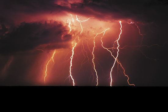
The National Weather Service said there is a 1 in 3 chance that the storm’s low pressure center will directly cross some part of western Washington, resulting in a historical windstorm for nearly all of western Washington that would be long remembered, reads a special weather statement released today.
“An impressively stormy period is coming up for western Washington from Thursday through the weekend,” the statement reads. “The main impacts will be from flood-producing rainfalls and damaging winds.”
The storm, coming in from the west, is expected to hit inland Thursday night.
“Hefty rainfall totals are expected through Friday morning,” the release continues, saying that 1 to 3 inches are expected in the interior lowlands, 2 to 5 inches on the coast and Cascade mountains and 4 to 8 inches in the Olympic mountains.
Friday is expected to be rainy and windy, but “will serve as a relative lull before a more potentially damaging storm Saturday.”
The National Weather Service said there is a 1 in 3 chance that the storm’s low pressure center will directly cross some part of western Washington.
“This would be a worst case scenario leading to a historical windstorm for nearly all of western Washington that would be long remembered.”
There is a 2 in 3 chance that the storm will pass hundreds of miles off the coast, limiting the damage to the coast and areas north of Everett.
“But inland locations such as the Puget Sound Region and the I-5 corridor of southwest Washington would experience the type of windstorm that would normally be expected a few times each storm season.”
