North side approach to Mount Peak off-limits due to washout of trail
Published 4:20 pm Monday, October 28, 2019


First, there was the bad news last week concerning Mount Peak, the popular hiking attraction in Enumclaw. But that was tempered by something a bit more positive.
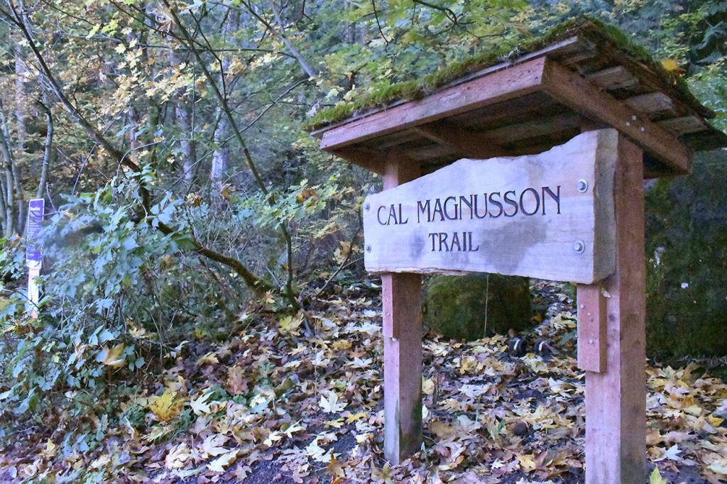
The distressing information for Mount Peak’s dedicated band of climbers came with a closure of the Cal Magnusson Trail on the north side of the volcanic cone.
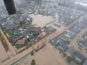
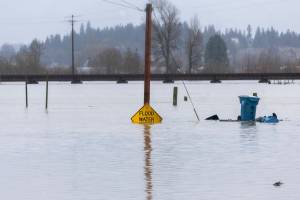
Heavy rains that hit the region Oct. 21-22 caused a washout of a particularly steep and narrow portion of the trail. A press release issued by King County Parks noted “extensive damage” was done to both the surface and base of the north side trail.
The Parks release noted the trail will remain closed until “significant repairs” can be made.
The Magnusson Trail is the more challenging route to the top of Mount Peak, which rises approximately 800 feet above the surrounding Enumclaw Plateau.
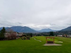
The good news for those determined to get their daily dose of Mount Peak is that the south side remains open.
That side, accessed by Mud Mountain Road, has a fully developed parking lot, complete with restrooms. It provides a less-challenging trek to the top.
Mount Peak – formally called Pinnacle Peak Park by the county – takes in 375 acres with five miles of trails. Those making it to the top find outcroppings of columnar basalt, concrete footings of an old fire lookout and views of Mount Rainier and the White River valley.